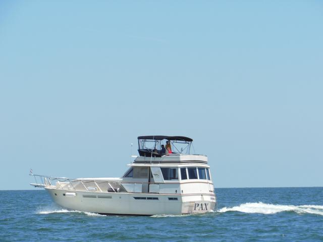
This is a Blog about helping Doug Thomas take his 46' Uniflite, "PAX", Through the Welland, Oswego, and Erie Canals to Kingston, New York, on the Hudson River.
Pax Sept 20 – Minetto to Sylvan Beach
We left the dock around 0900, after provisioning with bottled water at a nearby convenience store (and using their bathroom). We had three locks and 18 miles until the Oswego Canal ends and we join the Erie Canal at Three Rivers.
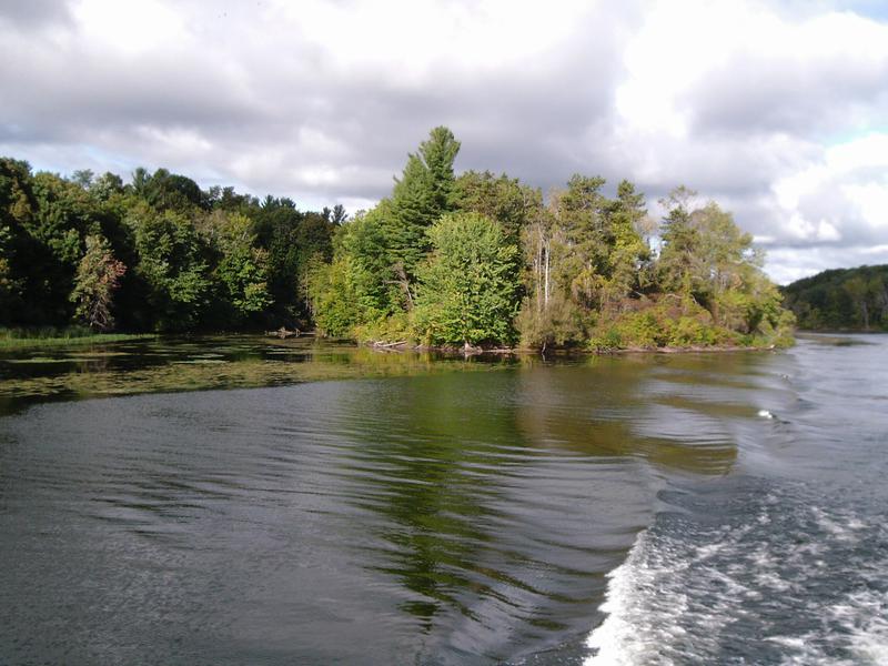
The morning went smoothly. Scenery on the canal was varied. There were long stretches of trees, with the river looking like it did for a hundred years. We would pass the occasional home. Then, we would pass multiple homes along the river.
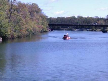
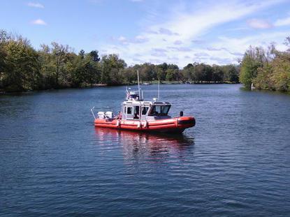
We locked through the remaining three locks and arrived at Three Rivers, the junction between the Oswego and Erie Canals, around 1200. As we moved west along the Erie Canal, we saw a Coast Guard vessel. And he saw us. They cam alongside and wanted to do a Vessel Inspection. Unlike the “Vessel Safety Checks” we do in the Power Squadron, this was not Voluntary!
Three Coast Guard men boarded PAX, and gave a full inspection. Turns out we had some flares that had expired in August (they have six months grace period, according to the CG), were missing the COLREGS (required for vessels over 13 meters, or 40’), and needed to create a "Waste Management" plan for our vessel (again over 40’).
They were very courteous and we were on our way in about a half an hour.
Next we stopped in Brewerton to fill up with diesel and do a pump out. Winter Harbor Marina is noted for low diesel prices, so we stopped there.
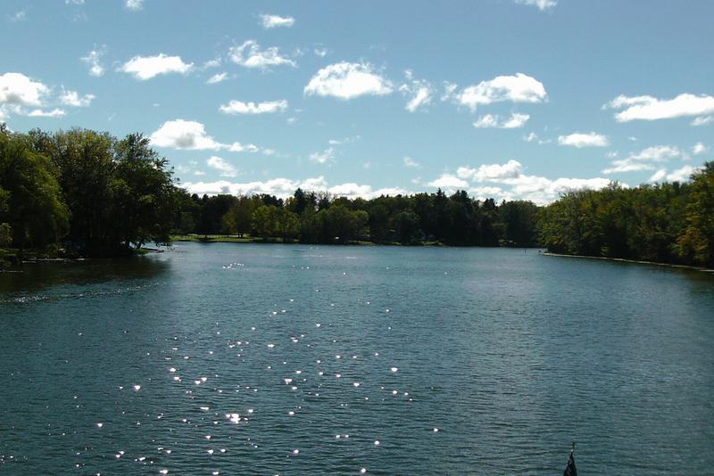
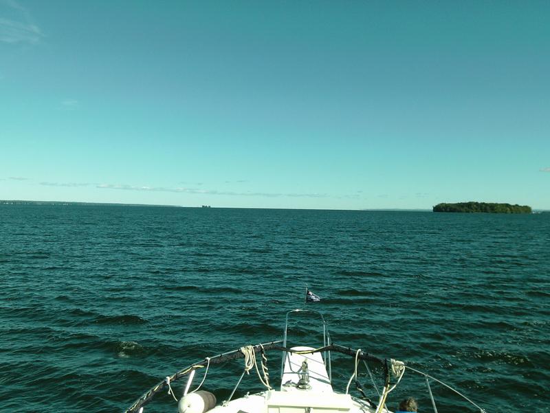
Following Brewerton, we got to Lake Oneida. The 20-mile lake is rough when there are strong winds, but we were lucky and the lake was smooth and very enjoyable. We pulled into Mariner’s Landing, by Sylvan Beach, around 5 PM, just before they closed.
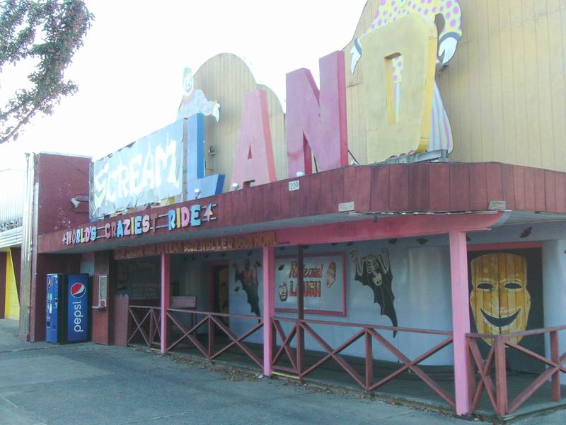
Dick, Linda, and I walked into town. It was about .3 miles as the crow flies, but after walking around the marina, it was closer to a mile. Sylvan Beach is a resort area, with an amusement park and rides. We walked to the Canal View restaurant, along the canal, and had a great eggplant sandwich.
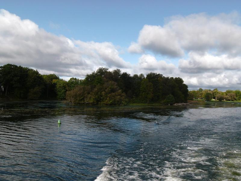
The canal follows the Oswego River, so most of the shoreline is natural
"Low Bridge, Everybody Down..." Along the Oswego River
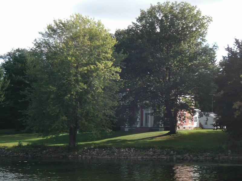
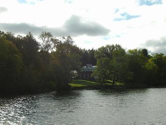
A Large home on the river - looked to be pretty old. May be a historic site
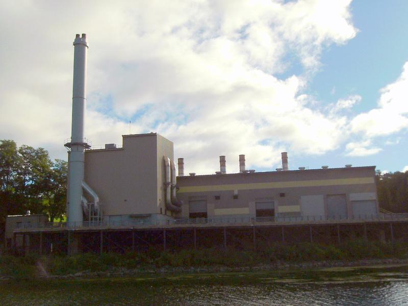
Some industry along the river.
Pathfinder Island. Pathfinder was the lead character from the book, "The Pathfinder," by James Fennimore Cooper, about a 1759 trip down the Oswego River
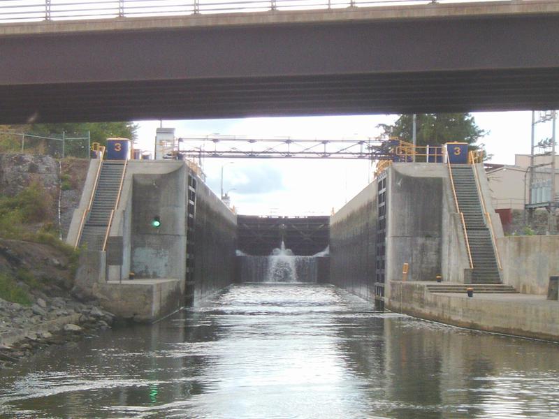
Approaching Lock #2, Fulton. One lock to go on the Oswego
The lock opens and we enter. Green light at left signals us that we can approach. When light is red, we wait outside the lock. Water leaking in through the gates ahead. The lift in this lock is 18'. Doug has to pull PAX forward, ahead of the fixed footbridge, because when the lock is full, he won't be able to clear the footbridge.
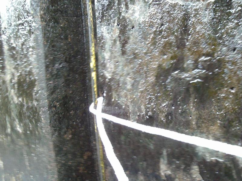
This lock had cables, fixed at the top and bottom of the lock wall. We loop a line around the cable to hold the boat close as we raise in the lock. Note slimy walls. Taken from the swim platform, where I am standing and holding the line as the boat rises in the lock.
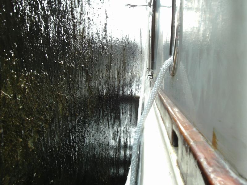
From the swim platform, looking forward. We have about 6" between vessel and lock wall. Fenders (covered in burlap) help keep boat off the wall. But, that is not enough. At top of photo you can see Mary Jane holding the boat off the wall with a boat hook. Dick and Linda do the same at the bow, and I hold off at the stern from the swim platform.
Lock walls close behind us. The gates open "inward", so the pressure of the water, when the lock is filled, pushes them shut. The gates meet in a shape of a shallow V, with the point of the V facing the higher water pressure. The water pushes the closed gates together at the V and create a watertight seal. These gates are called “miter-v” gates, and Leonardo DaVinci is generally credited with this design, invented around 1480.
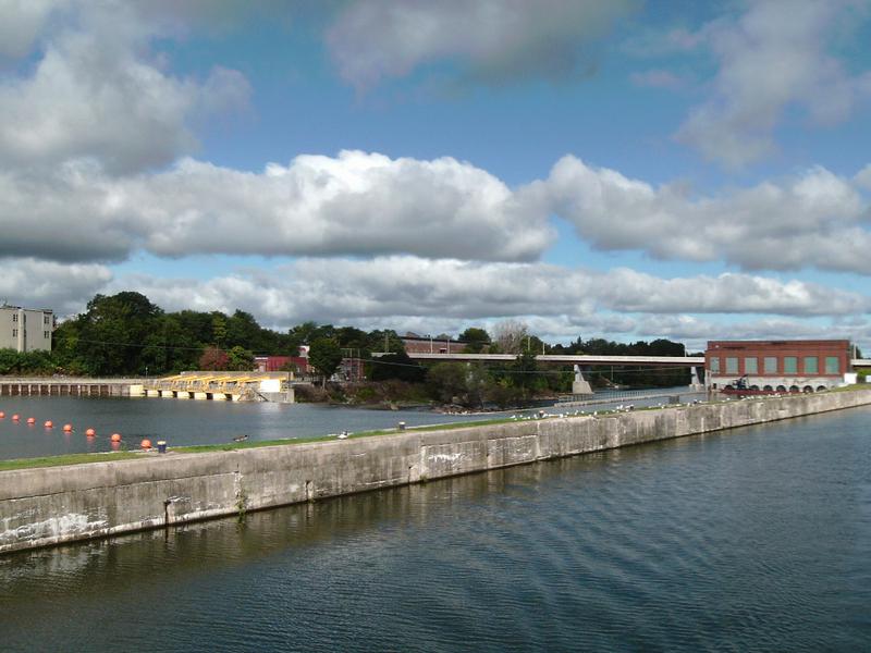
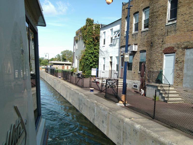
Exiting Lock #2 at Fulton. There is a town with shops and restaurants along the canal. Vessels can tie up for free, to shop or to spend the night. Many "free walls" have power and rest room facilities, but Fulton does not offer those services
Exiting the lock. Red balls on the other side of the lock mark danger - the low head dam with water flowing over to the river - 18' below. This is across the canal from town
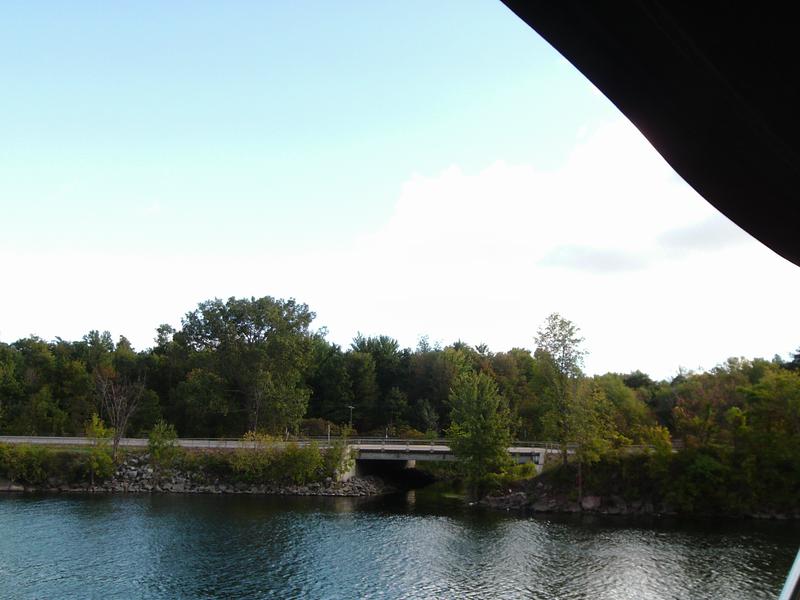
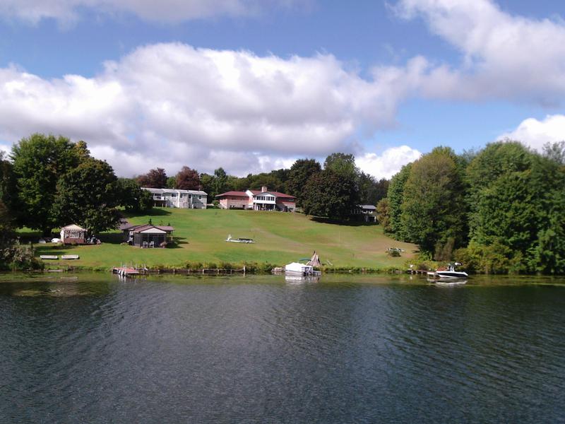
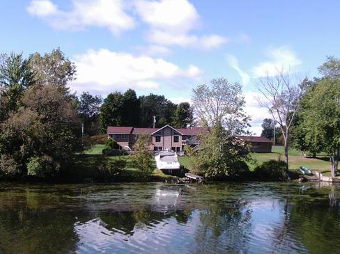
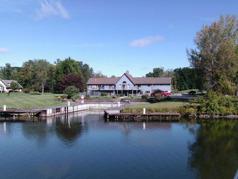
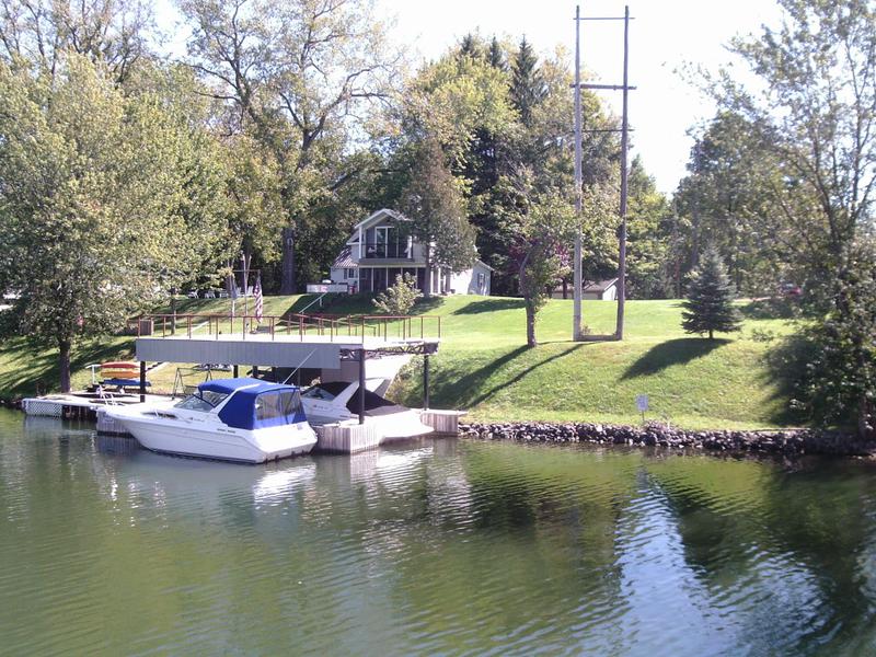
This section of the river is more developed, with homes and boat docks
This home has a set of rails to pull out a fairly large boat. This also takes care of his winter storage issues!
Home has boat well, floating docks, and even shore power for his friends
Exiting Lock #1 at Phoenix - shops along the canal
Cruisers take advantage of a "free wall" at Phoenix, the last lock on the Oswego Canal. This has 15A power, water, and pump out.
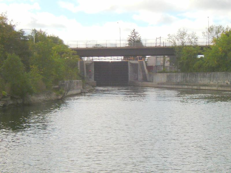
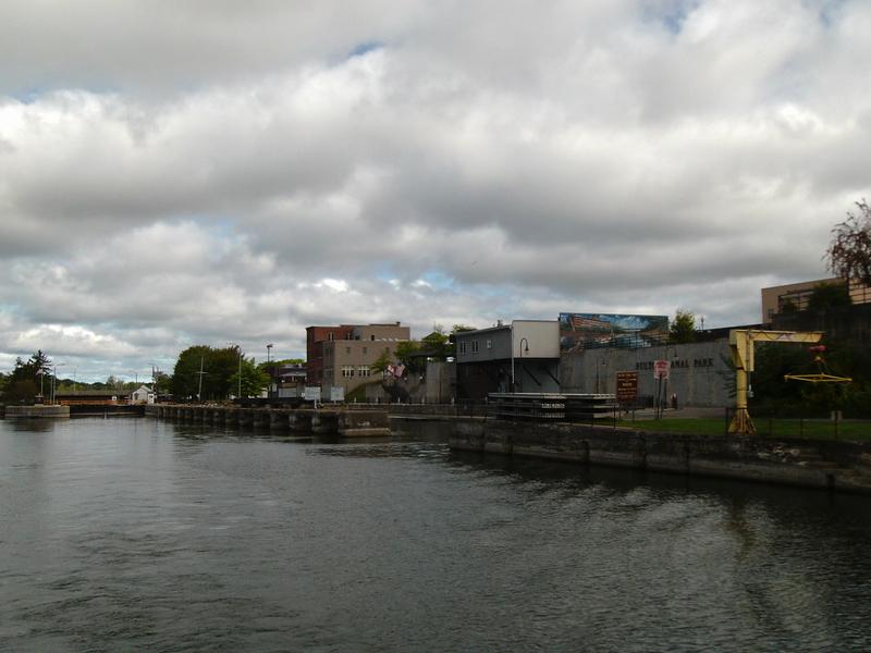
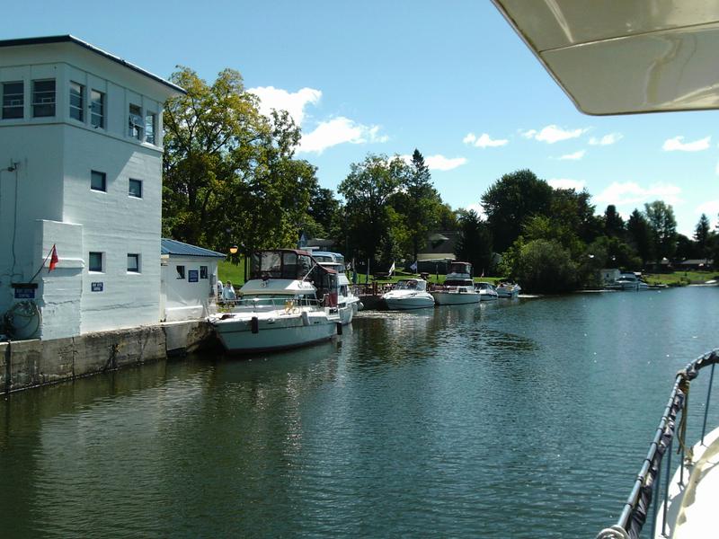
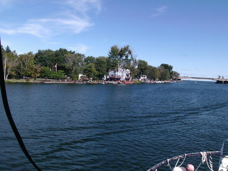
This is "Three Rivers," the end of the Oswego! The Oneida River goes East (to Port), as the Eastern half of the Erie Canal, ending at Waterford and the Hudson River. The Seneca River goes West (Starboard), on to and Lake Erie.
Our first bridge on the Erie Canal - I watch our clearance we have several feet to spare
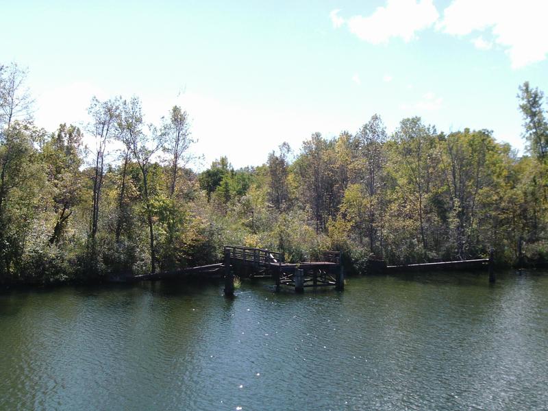
Looks like ruins of an old commercial dock on the canal. Most commercial traffic no longer uses the canal, although 2013 had approximately 100,000 tons of commercial shipping. Much of that was Canadian grain.
Pirate's Cove Marina, along the canal, about 7 miles west of Lake Oneida
Looks like a Coast Guard boat coming up the Canal... It sees us and wants to board!
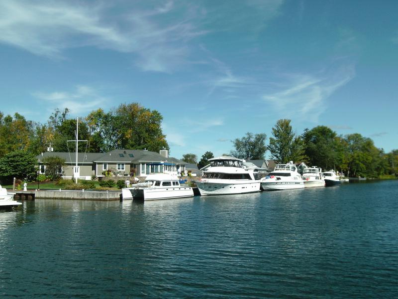
Quite a few homes on this section of the canal, the Oneida River
Boats at Winter Harbor Marina, in Brewerton. They are noted for lowest price diesel on the canal. Doug stops for a half-hour to fill-up.
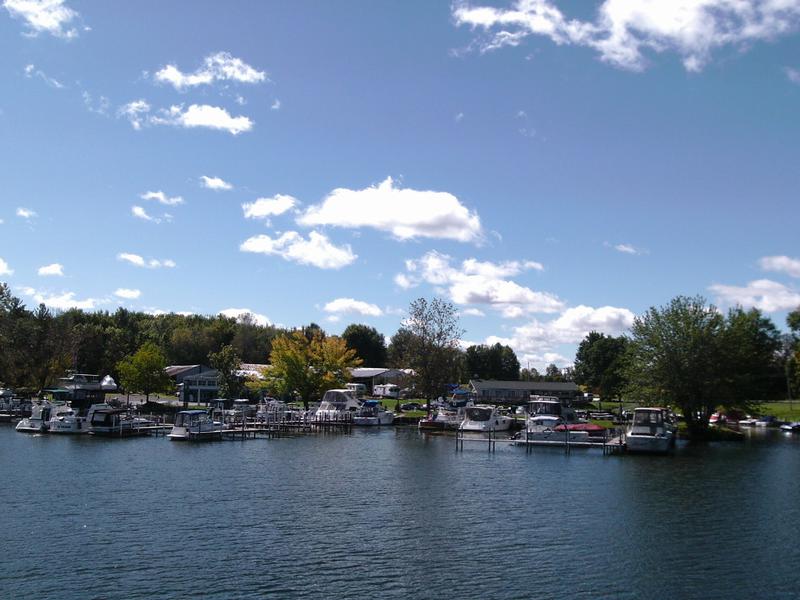
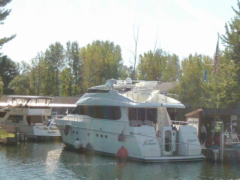
"Lady Barbara" at ess-kay Marina in Brewerton. We will lock through several locks with her tomorrow
Bridge marks the start (western end) of the 20-mile long Lake Oneida.
We begin our run across Lake Oneida, which will take a couple of hours. Oneida runs east-west and is 20 mile long and 5 miles across. If the winds are out of the east or west, it can get pretty rough. Today, winds were light and fron the NE - a great ride!
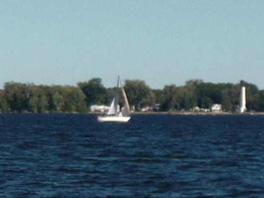
Lighthouse marks the canal leaving the east end of Lake Oneida. This was one of several sailboats enjoying the weather.
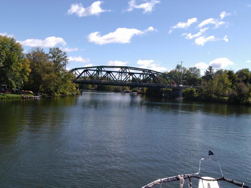
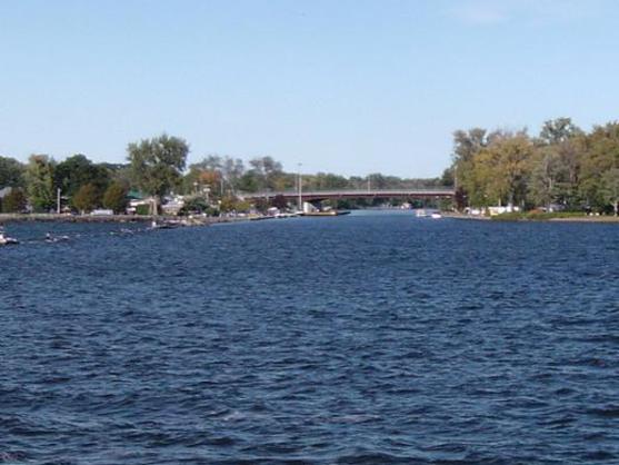
Our next overnight stop is Sylvan Beach. Our marina is on the left, just past the bridge
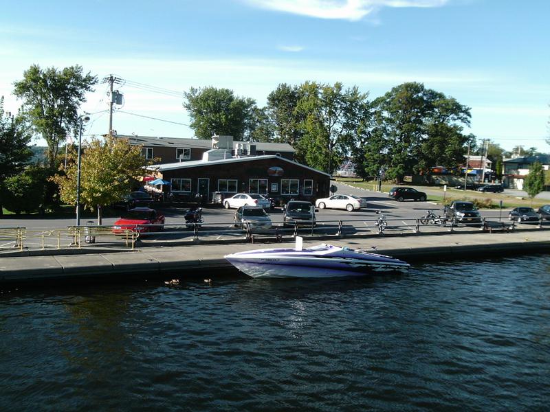
(Left) Canal View Restaurant, along the canal, just off Lake Oneida. Another restaurant is the "Crazy Clam"
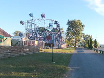
Amusement Park Midway and Roller Coaster at Sylvan Beach
Dick, Linda, and I walk to the Canal View Restaurant for dinner.